
Wednesday, February 29, 2012
Spring Training 2012
Sunday, February 26, 2012
Pass Mountain Saddle
On Friday we hiked the Pass Mountain Saddle Trail. It's actually a part of the Pass Mountain Trail but this hike is from the Meridian parking area to the saddle and back. About 4 miles total and about 700' elevation gain.


Karen coming up the trail.

Karen going down a section of white slickrock .

Karen looking at the Superstition Mountains.
Saturday, February 25, 2012
What 80 Pounds Looks Like

40 pounds difference between each picture.
The first picture is after having already lost 85 pounds!

Wednesday, February 22, 2012
Goldman & Goldberg


Tuesday, February 21, 2012


Wednesday, February 15, 2012
Bulldog Saddle Trail
Yesterday I hiked the Bulldog Saddle Trail. Here's a nice view of the Superstition Mountains I took while coming down the trail.


Monday, February 13, 2012
Tonto National Monument
Today we visited the Tonto National Monument. We had made reservations for the hike/tour to the upper cliff dwellings. It's a 3 mile (1.5 miles each way) hike with 600' of elevation gain. There were about a dozen of us on the hike lead by Ranger Jan. We made many stops on the way up when Jan would talk about the animal and plant life. It took over 1 1/2 hours to get to the dwelling. Once there we ate lunch outside the dwelling and then went inside. Jan explained many of the rooms and what we were seeing. Very interesting place! After about an hour we headed back down. It took less than 1/2 hour to get back down. All in all a very worthwhile outing.


Upper cliff dwelling as seen from the trail.

Ranger Jan explaining one of the rooms.

View from the dwelling.

The trail switchbacking up the hill.
Sunday, February 12, 2012
Peak 3004 Loop Hike
Today I did the Peak 3004 Loop hike. Unlike the last (and first) time on this trail today I did a pretty good job following the cairns when the trail died out. Karen hiked up to the Pass Mountain Saddle and waited for me there. It took me 2 hours to get to reach that saddle. We then hiked down together. Even on a busy Sunday afternoon I was the only hiker out there until I reached the Pass Mountain Trail. Heading down we ran into lots of other hikers.

The first part of this hike is on the Bulldog Saddle Trail.
It's also known as the "Fish Rock Trail." Now I know why.

Trails around here tend to be rocky.
This is part of the Bulldog Saddle Trail.

Karen on the Pass Mountain Trail.

Ross on the Pass Mountain Trail.

Superstition Mountains from the Pass Mountain Trail.

Panorama from the Pass Mountain Trail.

Karen in the wash near Meridian parking area.
Saturday, February 11, 2012
New Hike Today
Karen was busy with the HOA's rummage sale this morning so I went hiking alone. I parked at the Idaho Trailhead and hiked into the canyon to the immediate north. The trail was well defined at first but eventually disappeared in a wash. It would have required some serious bushwhacking to continue so I turned back. There's a rock formation visible from outside the canyon that looks like a balance rock. But from inside the canyon it looks like the head of a lizard eating a morsel of food (see the pictures to see what I mean.) After hiking in the canyon I hiked around the base of the hills and down in 2 different washes before calling it a morning.


Panorama view from inside the canyon.

The "lizard head" rock.

Closeup of the "lizard head" rock.
Thursday, February 9, 2012
New Hike Today
Today we hiked a new trail for us, the Second Water Trail. This hike starts at the First Water Trailhead. Like the Peralta Trailhead this one is at the end of a dirt road. But unlike the long drive to the Peralta Trailhead this one is only 2 1/2 miles down the road. We didn't hike the entire trial but rather hiked in about 2 miles and then came back. That allowed us to reach Garden Valley, a large, flat area. The trail didn't have any large elevation changes but there were some ups and down. Overall a nice hike on a nice trail.


Trail intersection sign.

From from the trail.

Karen heading up the trail.

How's this for a western scene?

Panorama of the Garden Valley area.

Skinny saguaro along the trail.
Wednesday, February 8, 2012
Pass Mountain Hike
Karen was busy with our condo's HOA today (she's on the board of directors) so I went hiking by myself. I hiked the Pass Mountain Trail which is about 7.5 miles long with about 1000' of elevation gain (depending on which source you believe.) Here are some pictures of the yellow poppies in bloom and an interesting way to walk the dog.


Monday, February 6, 2012
Before And After Pictures
Now that I've lost over 160 pounds I've decided to post some "before" and "after" pictures.


Before

Before
Before

After
The Mask
Today we again tried the hike to find The Mask. Karen waited at the white slickrock area while I climbed up into the wash that I now knew lead to The Mask. The HikeArizona.com trail description had the GPS coordinates of the viewpoint for seeing The Mask but I couldn't see it from there. I moved down the wash a few dozen feet, turned around and there it was! The Mask is so named because its two openings make it look like a mask. A saguaro is visible through the right opening. Quite an interesting sight!


Karen in a narrow part of a wash.

Karen at a section of pink rocks in a wash.

The Mask.

View from a hilltop I climbed. Karen is below taking a break.
Saturday, February 4, 2012
(Mostly) New Hike Today
A couple of weeks ago we did a hike that was supposed to take us to a Goldfield Mountains arch called "The Mask." We couldn't find it on that hike so today we tried a new route to the arch. Today's route started at the end of Idaho Road. Not really a trailhead but there was a wide shoulder where we parked. The hike mostly follows a wash that goes north into Bulldog Canyon. Once there we were hiking on the same route as the first hike we did into the area. Unfortunately once again we couldn't find the arch! This time it was due to a late start and wanting to be back well before darkness fell. But we had a great hike and will try to "bag" the arch again soon.


Karen heading down into the main wash.

Karen in the wash.

Karen in a narrower part of the wash.
We stayed in the wash past the point where we should have left it.
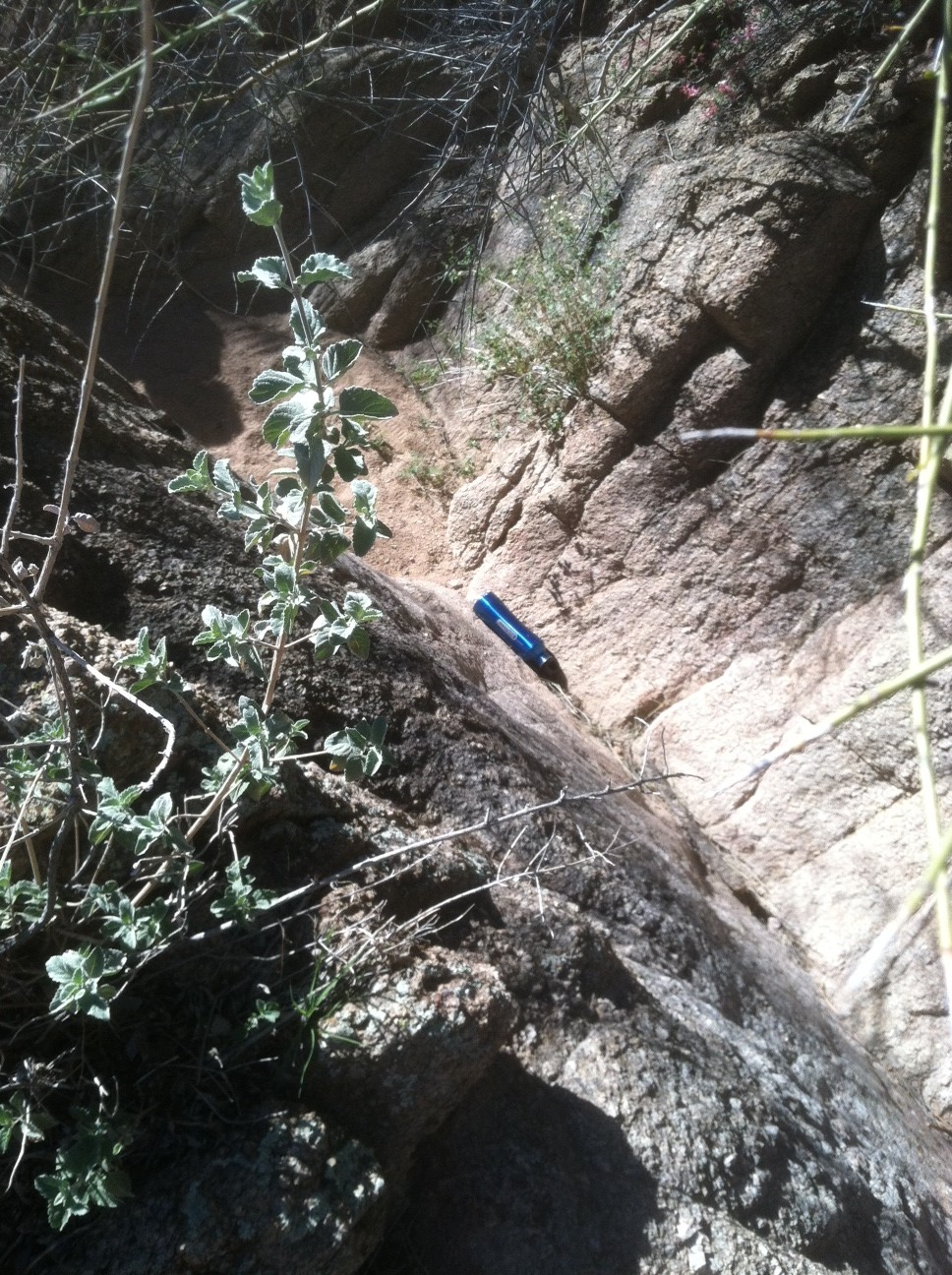
This lead to some pretty steep rock climbs. I lost my water bottle
climbing up one of these. Luckily Karen was behind me to get it.

Karen picked up a Cholla piece. I used my multi-tool and a comb to get it off.

Not sure what animal this leg was from or what animal ate it!

Artsy photo at the parking area. Note the moon over the hill.
Subscribe to:
Posts (Atom)